Anderson Bogert utilizes state-of-the art technology and techniques to provide accurate survey data. Our registered land surveyors emphasize pinpoint accuracy in all levels of data collection and document preparation. Our survey services include:
- GPS Surveys - Wetlands Surveys, Dynamic Surveys, Section Surveys, Control and Staking
- Design Surveys - Topographic Mapping, Right-of-Way Determination, Property Line Determination, Utility Location, Baseline Research and Establishment
- Site Surveys - Preliminary and Final Subdivision Plats, ALTA Surveys, Topographic Surveys, Farm Splits, Plats of Survey, Boundary Surveys, Lot Surveys, Property Research
- Construction Surveys - GPS Control & Staking, Construction Staking, Roadways, Utilities, Utility Location & Staking, Easements, Grading Control, Project Documentation
- Acquisitions - Public Right-of Way / Easements, Utility Easements, Access Easements, Construction Easements, Acquisition Plats
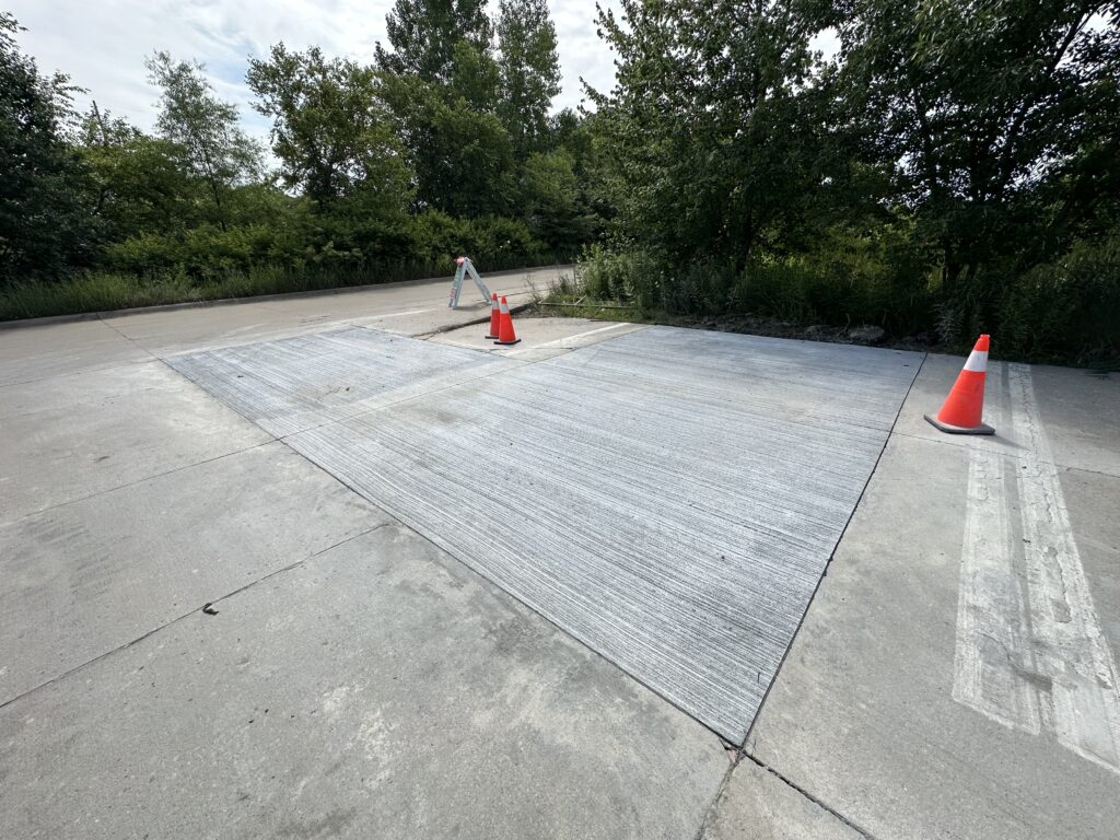
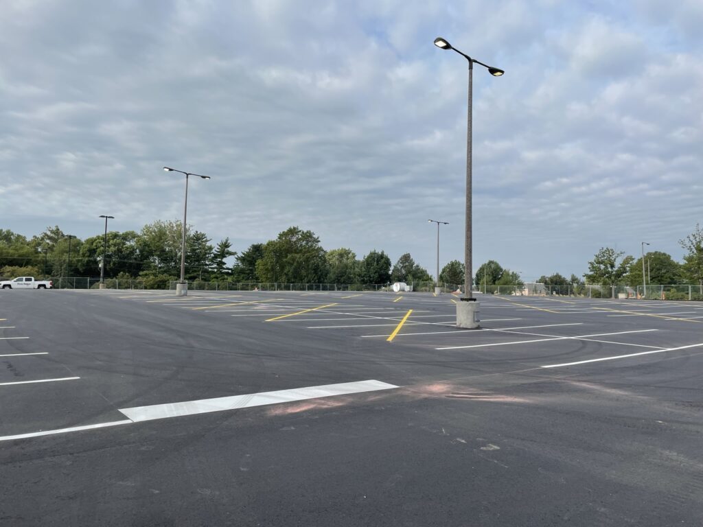
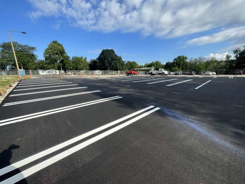
See our services in action by visiting our Project Portfolio. You will find a sampling of our projects listed below.